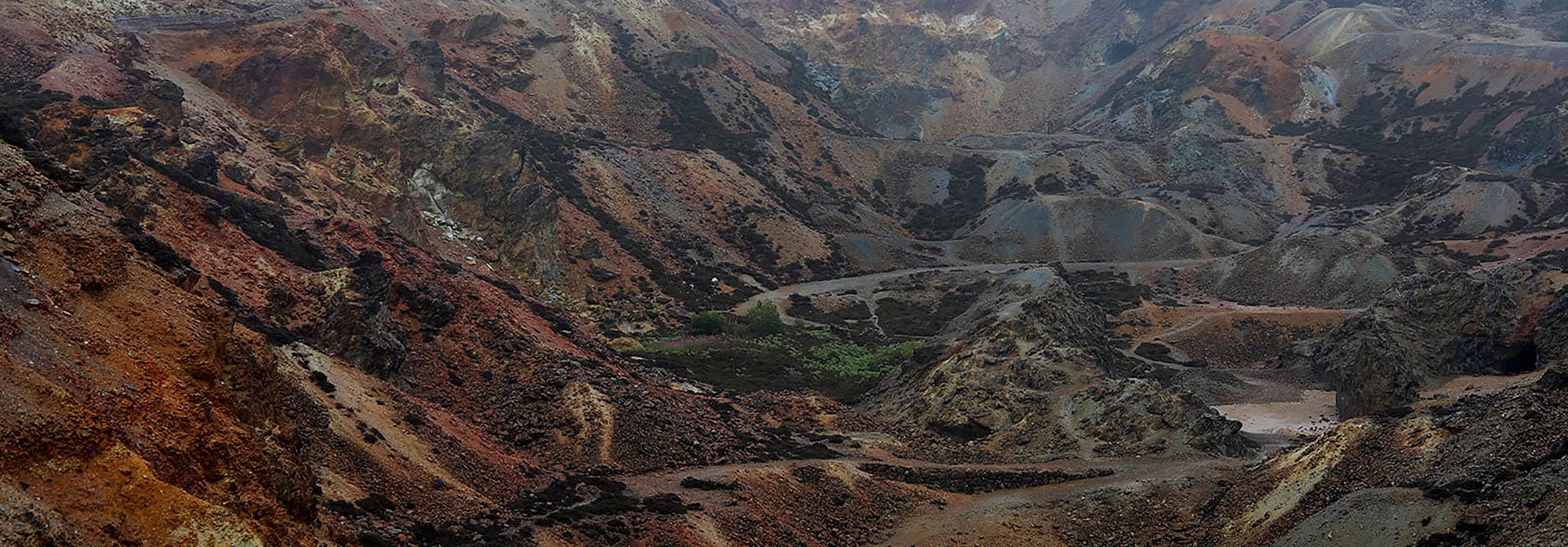
Geology
The Parys Mountain project is interpreted to be a volcanic hosted massive sulphide zinc-lead-copper deposit.
The deposit is located at or near the contact between Ordovician shales and the overlying Silurian volcanic sequence. The volcanics are predominantly comprised of rhyolites with some basalt occurring as a thin sheet intercalated with the lower rhyolites.
The deposit area appears to represent an east-west trending synclinal structure with outer limbs of Proterozoic basement, overlain by the Ordovician Shales, Silurian Rhyolite and with a core of Silurian shales, locally known as the Central Shales.
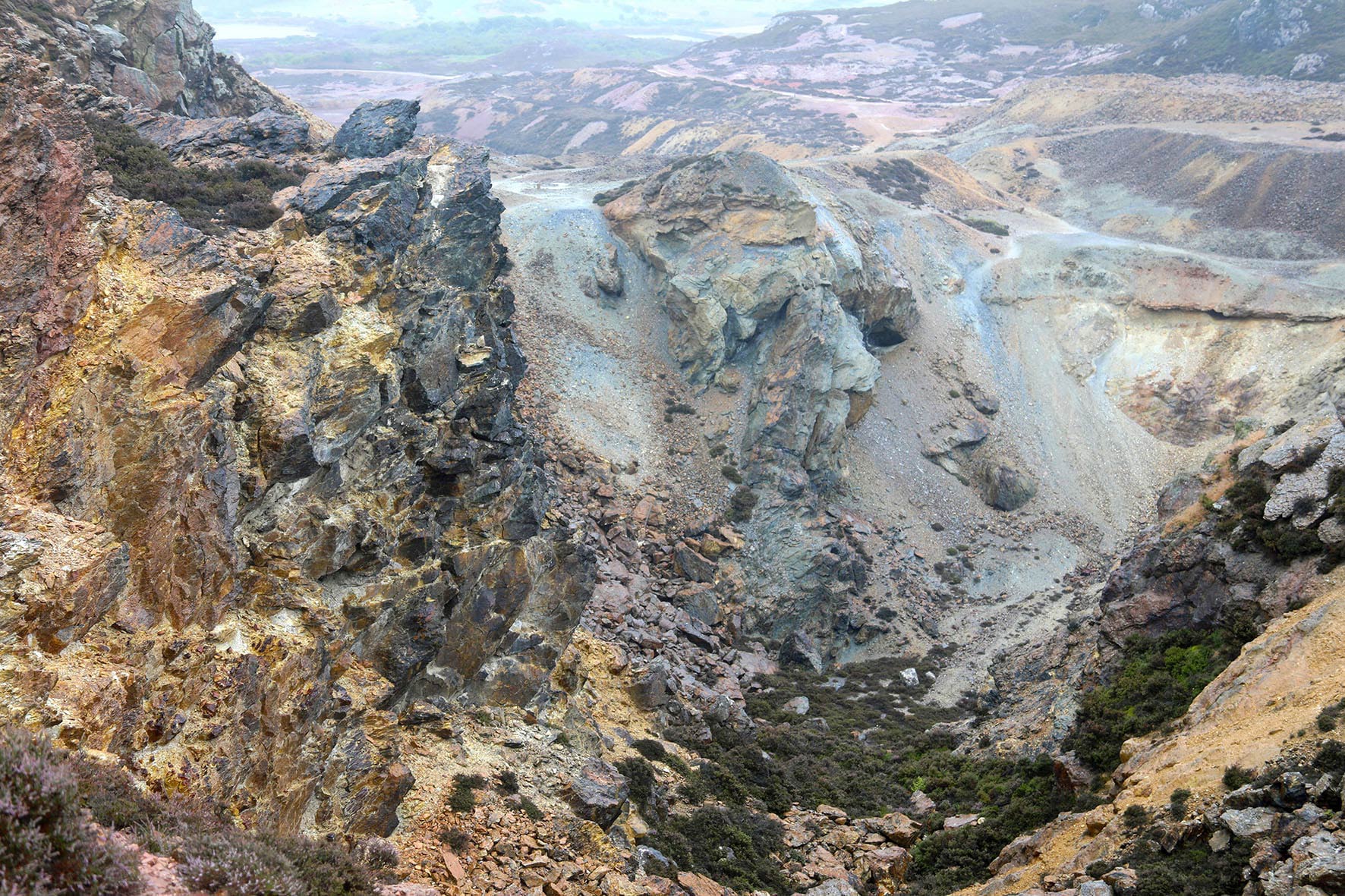
Copper bearing stockwork veins occur in the upper part of the Ordovician Northern Shales and also within the Silurian Central Shales. Massive sulphides have been delineated at, near and just above the contact between the Ordovician Southern Shale and the Silurian Southern Rhyolite contact.
The massive sulphides of the Engine Zone, within the basal Southern Rhyolites, comprise a 100-200 metre wide zone traceable down plunge for 800 metres. The sulphides are present as three lenses separated by thin rhyolite bands with peak grades of 25% Zn,10% Pb, 4% Cu, 400g/t Ag and 5 g/t Au over narrow intervals.
The White-Rock Zone, found within the Northern Shales near the Northern Rhyolite contact, comprises quartz rich rocks and semi-massive sulphides.
The Northern Copper Zone is located within the Carreg-y-Dol Zone, also near the contact of the Northern Shales and the Northern Rhyolite. This zone contains massive quartz rich rocks with chalcopyrite-pyrite rich veins and pods of semi-massive sulphide up to 15m in thickness. The shallow part of this zone was mined in the 19th century and passes down into silicified Northern Shale with centimetre scale quartz-pyrite-chalcopyrite veins which appears to host a large, lower grade Cu dominant deposit.
Importantly, the mineralised system remains open and untested along strike to the east and will be the target of ongoing extensional exploration activities.